Palo Alto, California, then and now
Palo Alto, California three ways: the 1897 USGS survey map, the 1953 USGS map, and a 2022 aerial photo, all lined up on exactly the same 4 x 4 km of ground. University Avenue, the Stanford campus edge, the old Southern Pacific line and San Francisquito Creek sit in the same spot in every panel, so you can watch the town grow over 125 years.
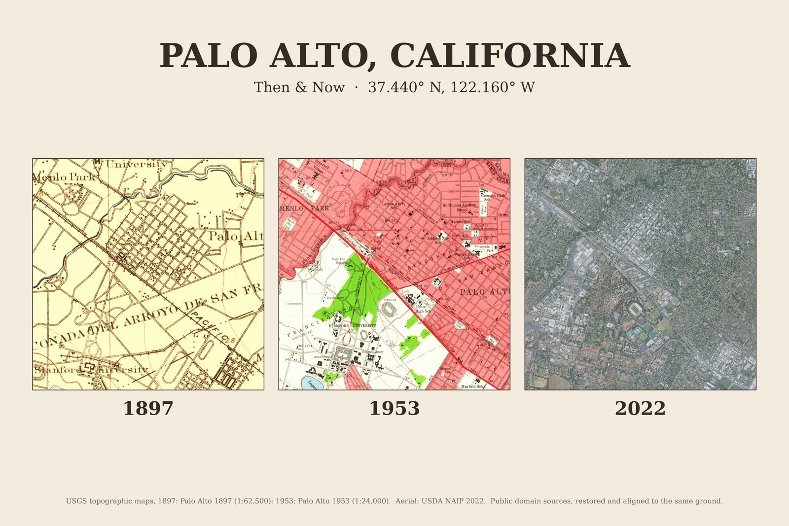
These are real maps, not illustrations. I start from the U.S. Geological Survey's scans of the original sheets, align each one to the same ground using its survey coordinates, clean them up, and lay them out as a print.
What you get for Palo Alto, California
- Then & Now print, 3:2 landscape, 7200 x 4800 px at 300 dpi. Sharp at 12x8 and 18x12 inches, good up to 36x24.
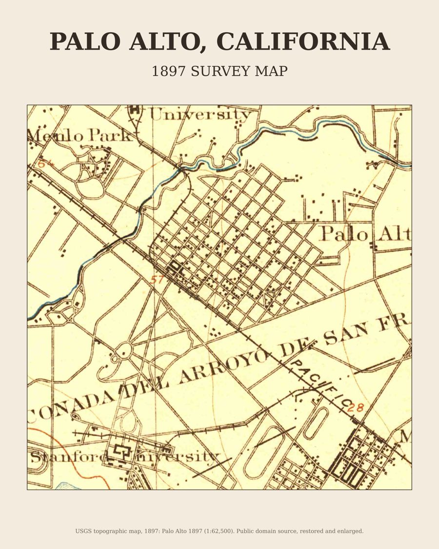
- The 1897 map on its own, 4:5 portrait, 4800 x 6000 px at 300 dpi. Fits 8x10, 16x20 and 20x25 inch frames.
- Plus the same two files for every other town on this site, all for one price.
Sources
USGS topographic maps, 1897: Palo Alto 1897 (1:62,500); 1953: Palo Alto 1953 (1:24,000). Aerial: USDA NAIP 2022. Public domain sources, restored and aligned to the same ground. Previews on this page are reduced in size; the files you download are full resolution.